 |
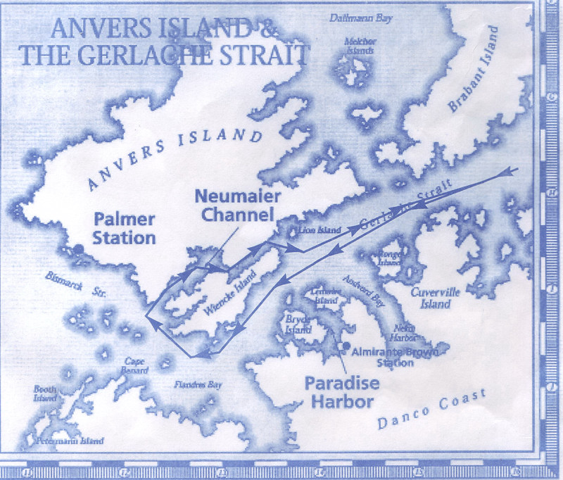
A Humpback Whale @ Bransfield Strait,这条从船边经过的Humpback鲸鱼是早上六点多拍到的。
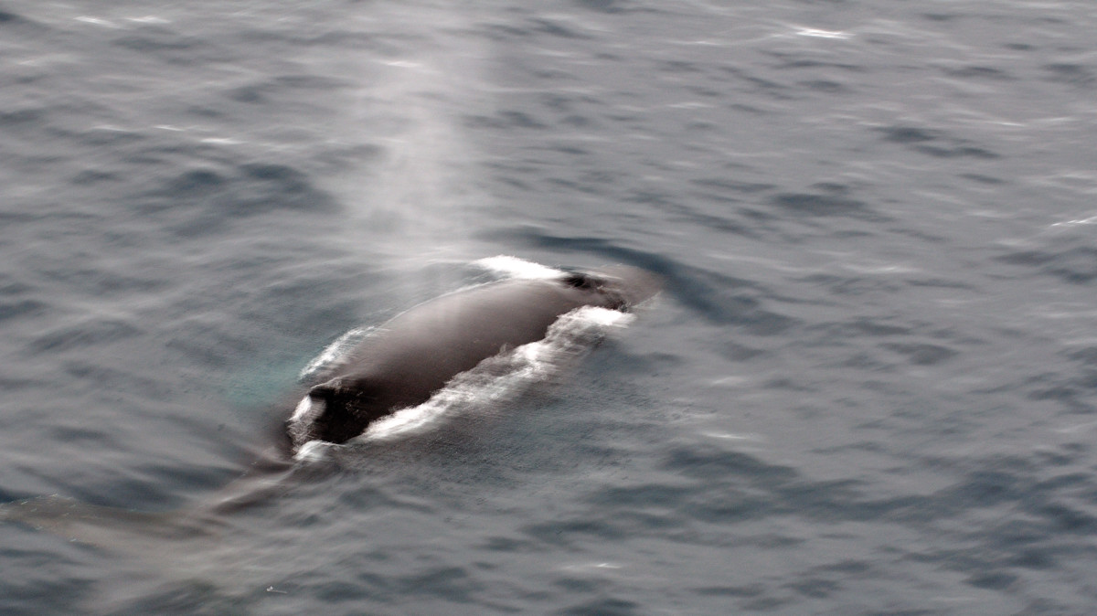 |
A Humpback Whale @ Bransfield Strait,同一条Humpback鲸鱼正准备下潜。
 |
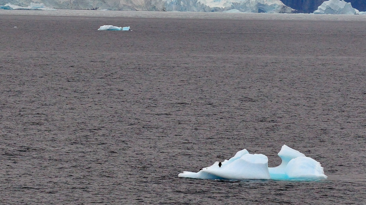
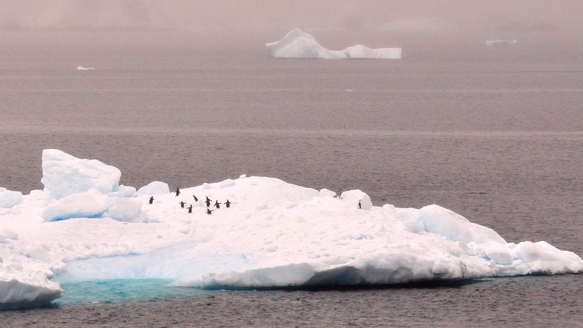
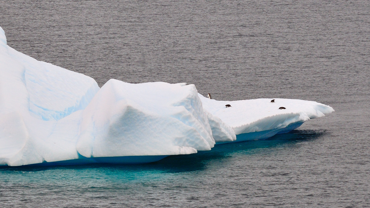
Penguins on ice,有一个小企鹅在浮冰上
 |
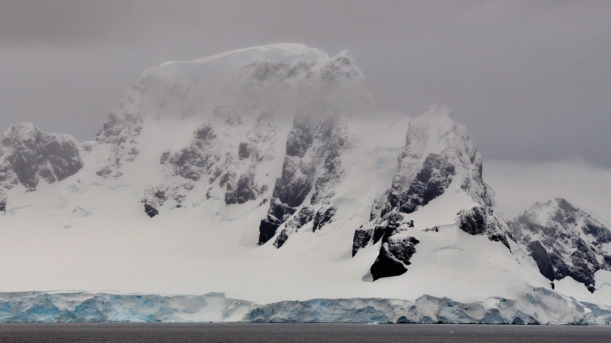
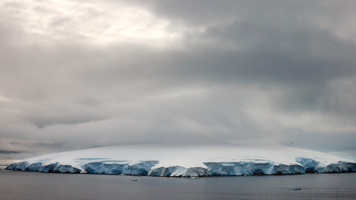
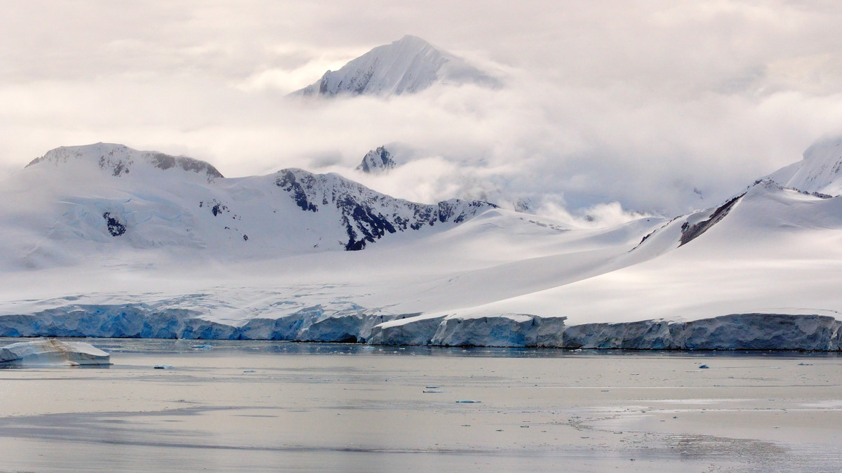
Cloudy Gerlache Strait, 云雾缭绕的吉拉屈海峡
 |
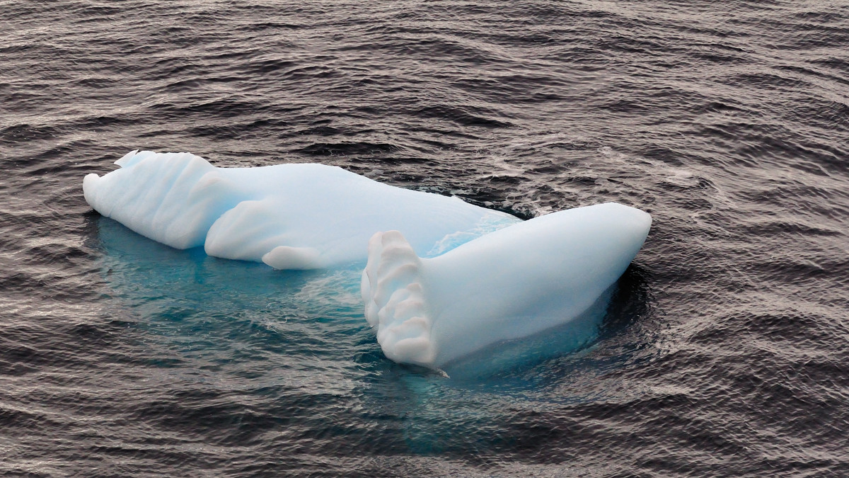
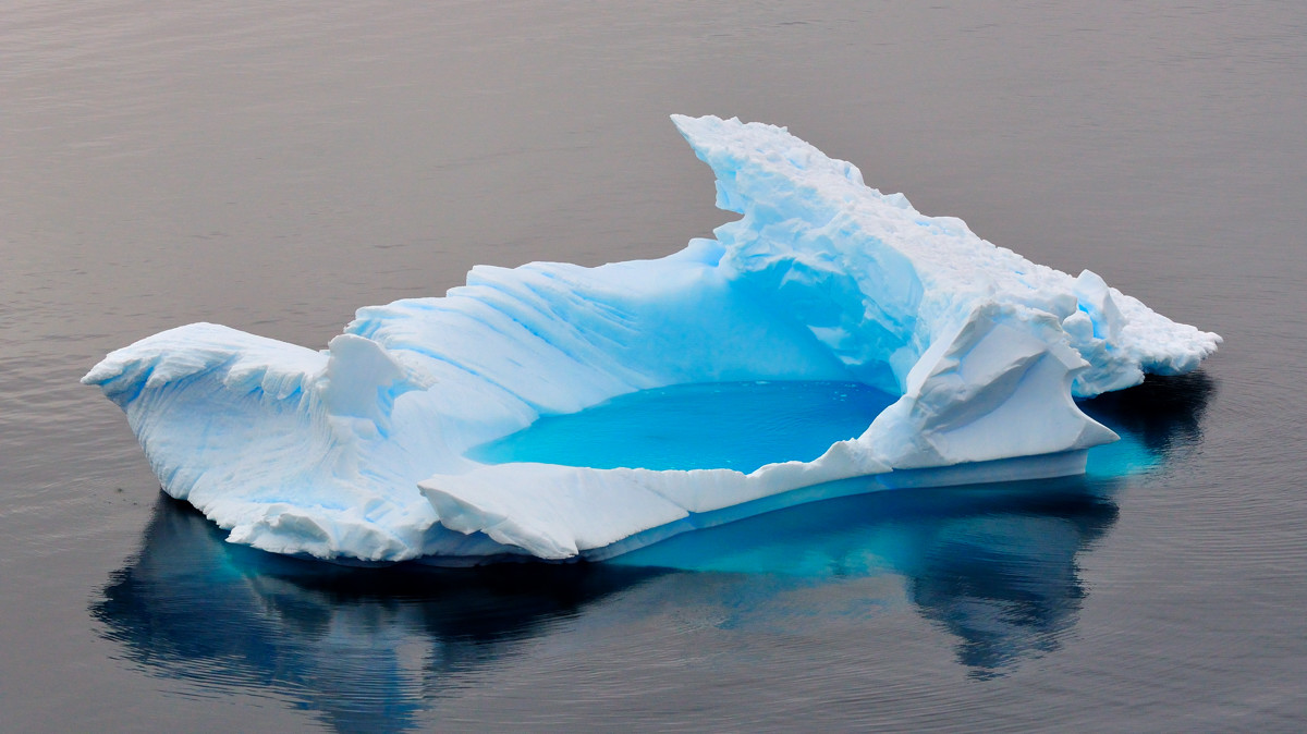
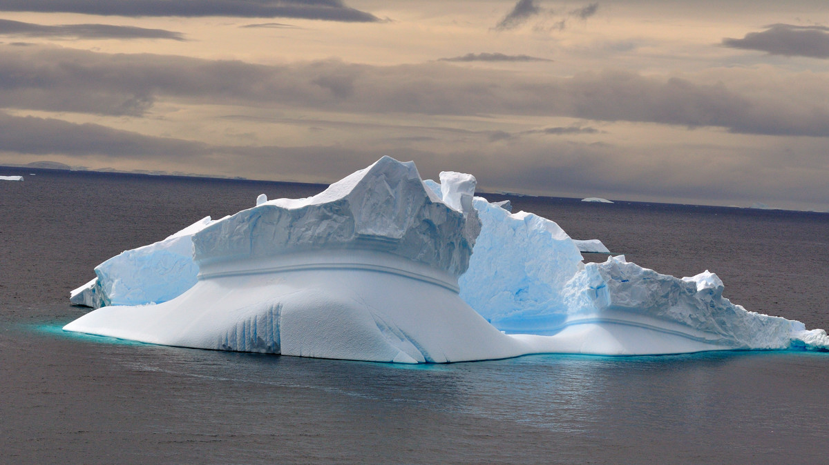
A foot shape iceberg
 |
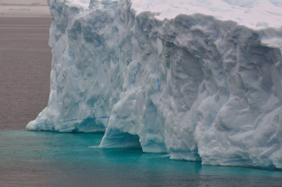
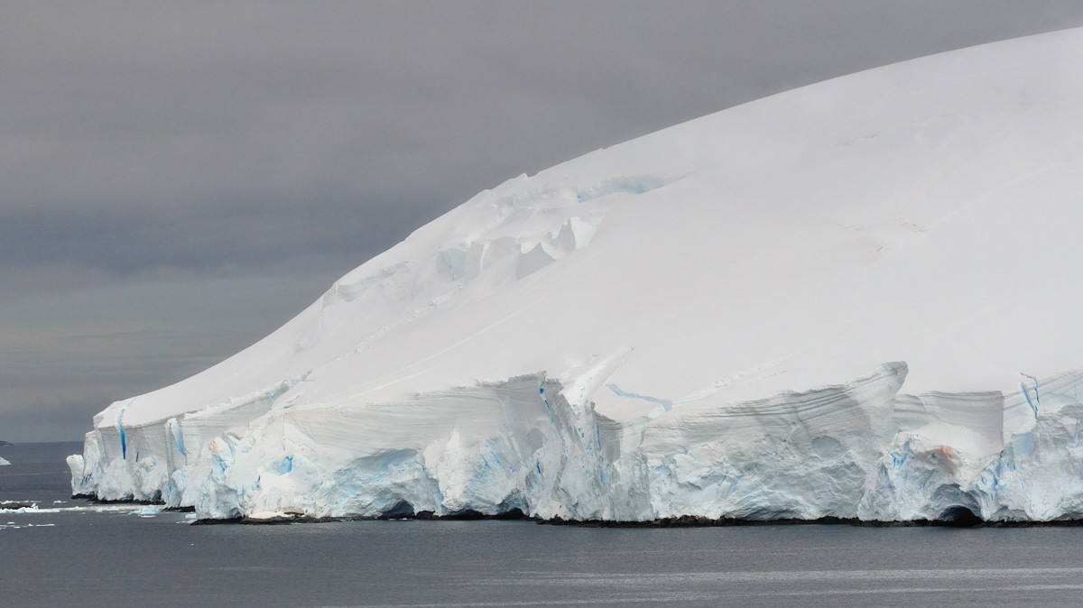
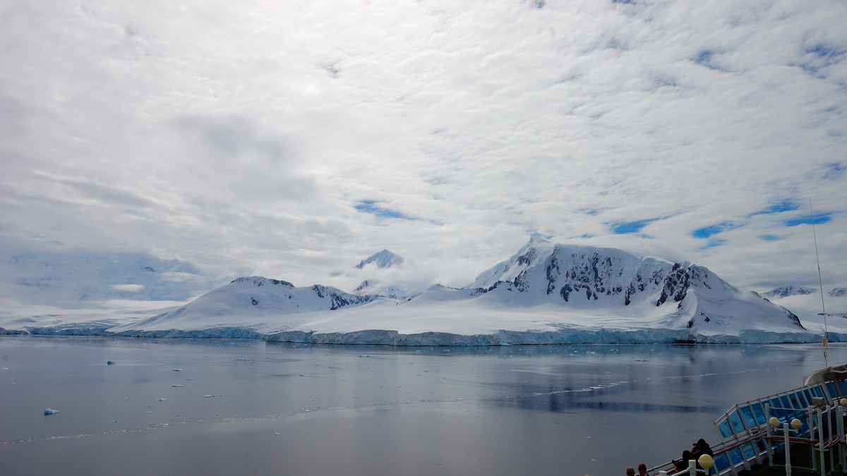
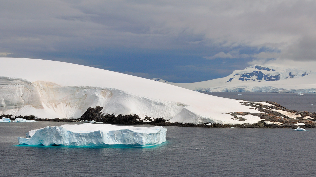
Icebergs, glacier @ Gerlache Strait
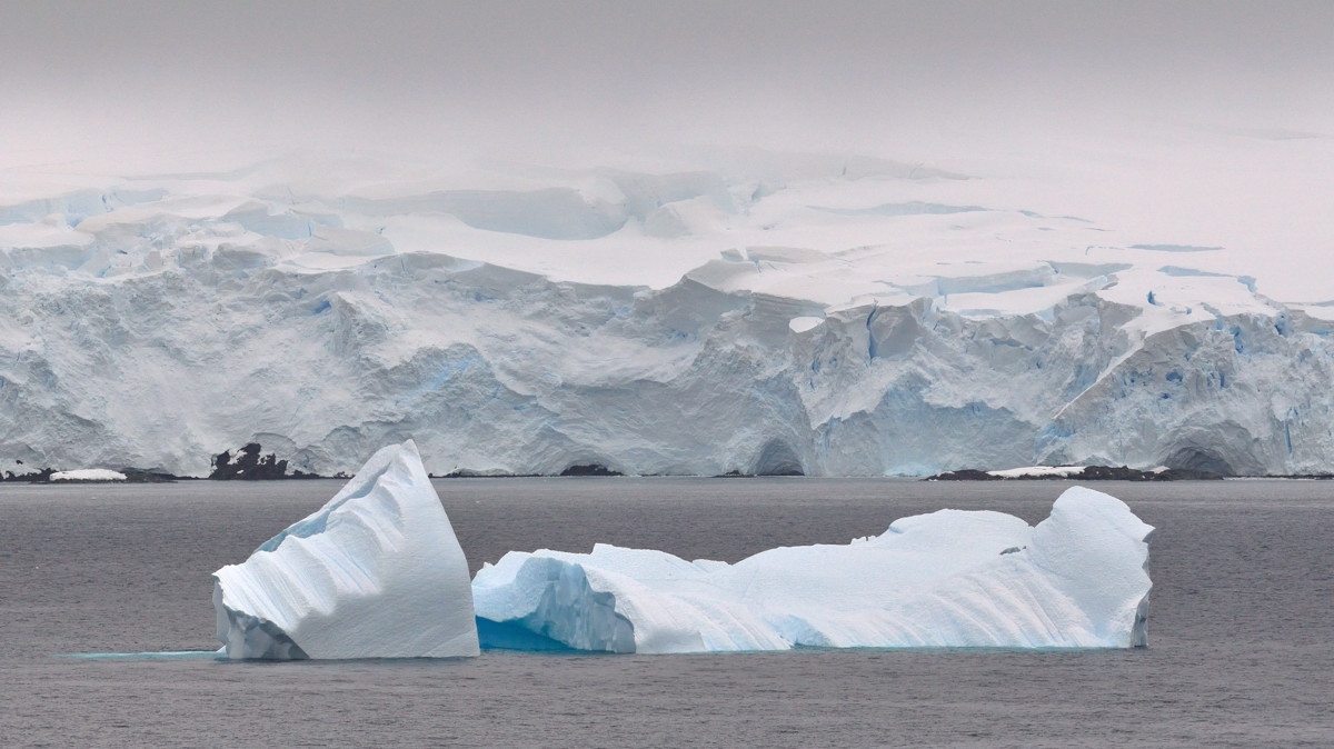 |
Icebergs, glacier @ Gerlache Strait
 |
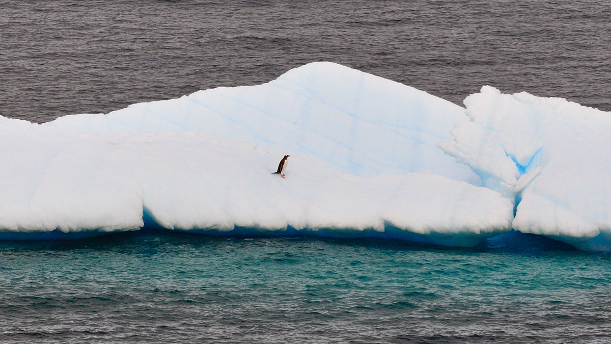
Penguin on ice
 |
Neumayer Channel is a channel 16 miles (26 km) long in a NE-SW direction and about 1.5 miles (2.4 km) wide, separating Anvers Island from Wiencke Island and Doumer Island, in the Palmer Archipelago. Neumayer Channel is known for its majestic cliffs, an attraction for tourists who come to the region. It is said to be like a maze with no visible exits because of its inverted S-shape. Its entrance and exits both have sharp bends.
纽美耶水道是一条在Anvers岛和Wiencke岛之间的水道,长26公里宽2。4公里.纽美耶水道以她雄伟的悬崖,迷宫般的曲折水道吸引了众多的游客。
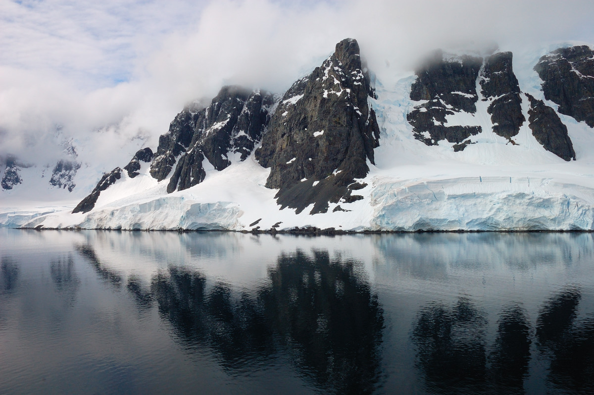
Cloudy Neumayer Channel
 |
Glacier @ Neumayer Channel,纽美耶水道有长达8英里宽2英里漂亮的冰川.
 |
An unique shape iceberg, 当然还有各种不同形状的浮冰
 |
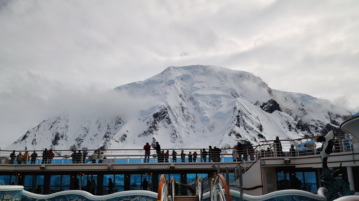
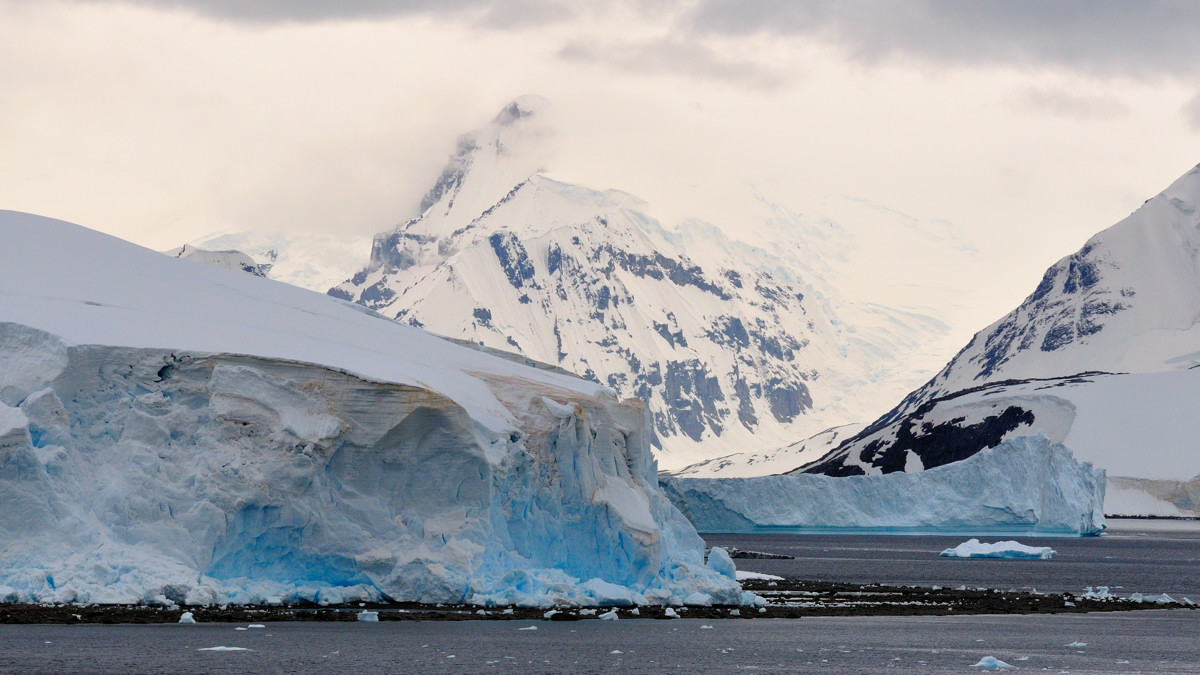
Clouds moving away from glacier-capped peak,气候变得很快,冰雪覆盖下的山顶在雨雾中时隐时现
 |
The sky is getting brighter,早上还是阴沉沉的天总算亮了起来,可以看到些蓝天了
 |
The melting ice casting a line on the water,这里风平浪静,融化的冰在平静的水面画上了一条条梦幻的线条。公主号降低到她最慢的巡航速度,纽美耶水道就像一幅美妙的风景画在我们面前慢慢地展开.
 |
Neumayer Channel,纽美耶水道,这里静得倒影清晰可见,窄得几乎伸手可及
 |
A quiet moment,弯曲而狭窄的水道,出口处,公主号慢慢地转向,乘客们很兴奋却又很安静
 |
A crown shaped iceberg,巨大的冰皇冠
 |
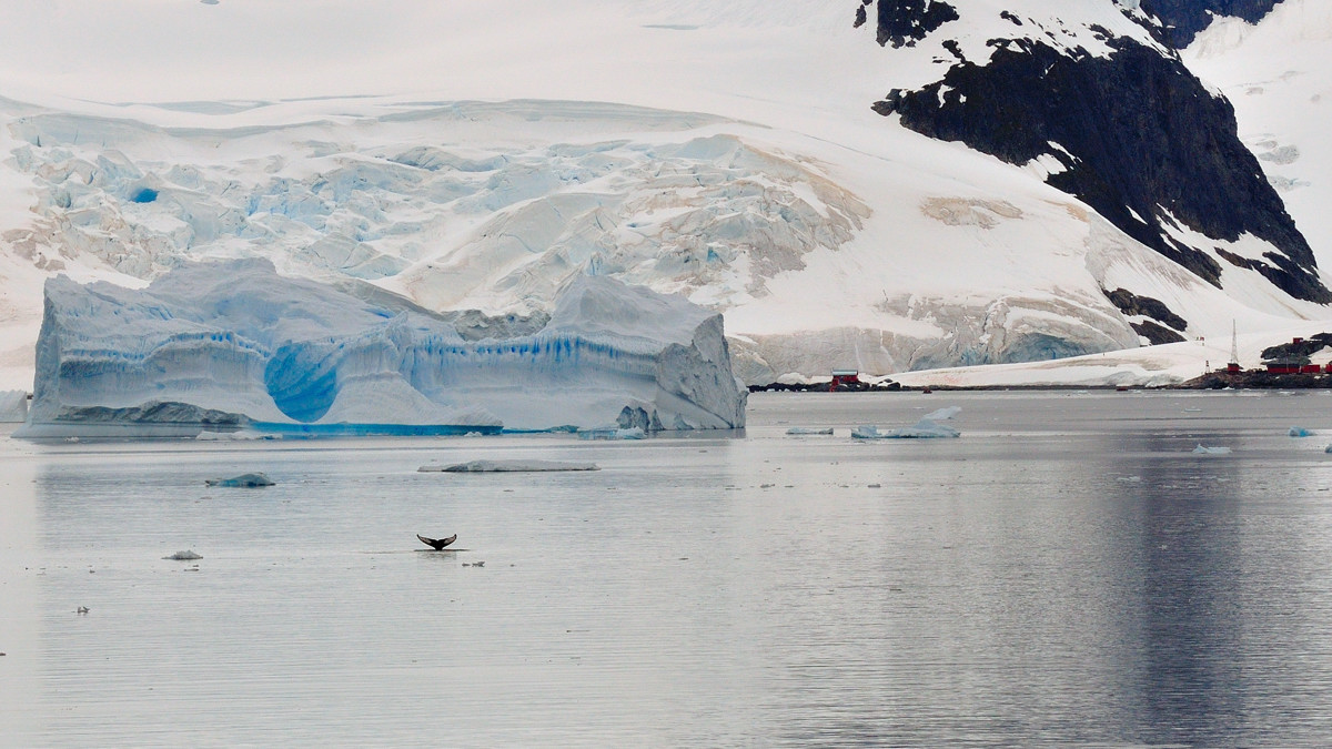
Paradise Harbor, also known as Paradise Bay, with beautiful snow-capped mountains and ice, is home to whales and penguins, the almirante brown station of Argentina is also located in the bay.
天气一点点开朗了,经过和另一艘在同一区域的邮轮联系后,船长决定去公主号从未到过的天堂湾。天堂湾常年覆盖着冰雪,很多鲸鱼和企鹅,还有阿根廷的Almirante brown考察站。
 |
Jump or not to jump,可能公主号是第一艘到这里的3000人的大船,这个企鹅有点犹豫不决,是不是要下水避一避,同伴已经跳进水里了。。。
 |
Penguins on ice,这几个可能是见过世面的,一点也不惊慌
 |
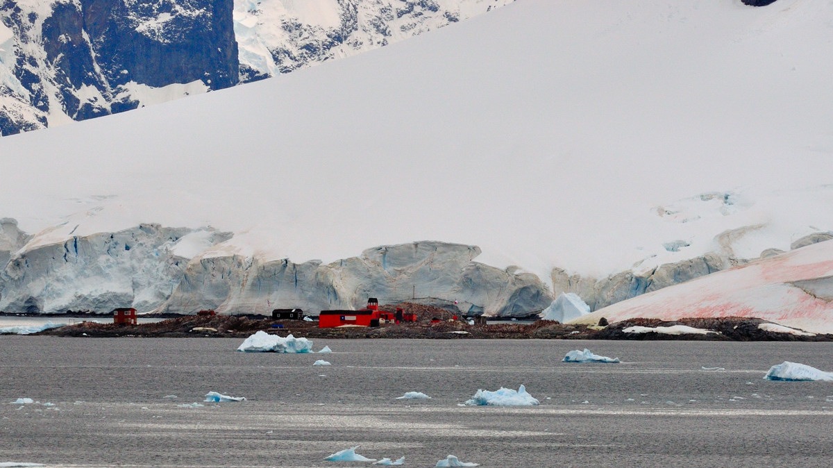
Almirante Brown Antarctic Base (64°51' S, 62°54' W) is an Argentine Antarctic base. The original station located in Paradise Bay was burned down in 1984. The base has been partially rebuilt, but is occupied only in the summer season.
位于南纬64度51分和西经62度54分的阿根廷Almirante Brown南极站,曾毁于1984的一场大火,现在部分重建并只在夏天使用。
 |
Whale and iceberg,鲸鱼和浮冰
 |
The weather has quickly changed again. 天又有点阴了
 |
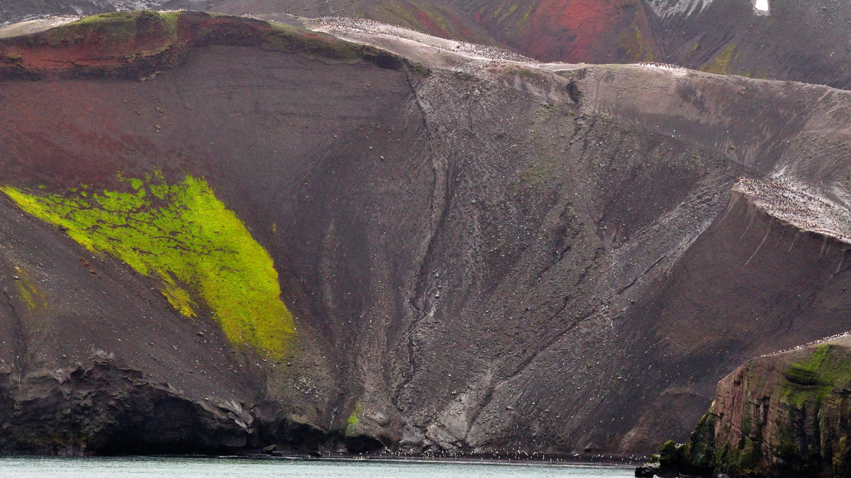
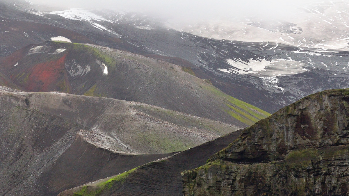
Deception Island is an island in the South Shetland Islands off the Antarctic Peninsula which has one of the safest harbours in Antarctica. A recently active volcano, its eruptions in 1967 and 1969 caused serious damage to the scientific stations there. The only current research bases are run by the Argentine Army and Spain.
The beaches and waters of Deception Island are home to Weddel and crab-eater seals, as well as Gentoo and Chinstrap penguins. Baily Head on the west side of the island holds one of the world's largest chinstrap rookeries.
南雪特兰群岛之一的Deception岛位于南极半岛以北,是南极最安全的港口之一,但它也是一个活火山,在1967-1969年的喷发给那里的科学考察站带来了严重的破坏,目前,只剩下了阿根廷和西班牙的考察站。
这里的沙滩和水里有众多的Weddel海豹,吃海蟹的海豹,Gentoo和Chinstrap企鹅,在岛西面的Baily Head是世界最大规模的Chinstrap企鹅栖息地之一
 |
Chinstrap penguin colony all over the mountain,岛西的Baily Head,满山遍野的Chinstrap企鹅
 |
Beautiful Deception Island,山峦层叠,云雾盘绕
 |
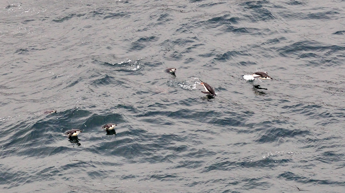
Smelled before spotted,远远传来的味道,那么的浓,就知道“满山遍野”也不够形容
 |
Penguin jumping out of water,除了岸上的,水里还有很多
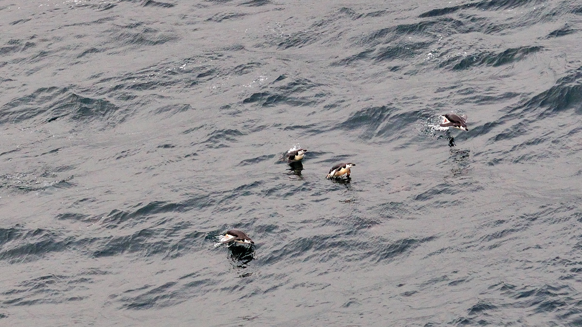 |
Penguin jumping out of water,行色匆匆
 |
No comments:
Post a Comment